

|
2018 National Excellence in Geospatial Education Awards Recipients
|
2018 Lifetime Achievement In Geospatial Two-year College Education
|
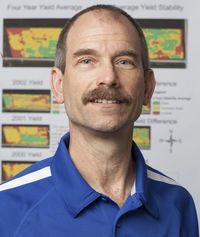
Terry Brase, is the Precision Ag Instructor at West Hills College Coalinga focusing on teaching and developing technology courses. He has BS and MS degrees in Ag Education from Iowa State University. He taught at two Iowa community colleges for 30 years; teaching ag geospatial technologies for the last 23 years. He developed the first in the nation two-year degree in Precision Agriculture in 1995 with funding from the National Science Foundation. In 2001 he was the originator and Principal Investigator of AgrowKnowledge, the National Center for Science and Technology in Agriculture. Published works include an ESRI Virtual Campus course on Spatial Analysis in ag, a textbook entitled “Precision Agriculture”, and a chapter on GIS in the soon to be released “Precision Farming Basics” from the American Society of Agronomy. He was the recipient of the 2012 Educator Award of Excellence at the International Precision Ag Conference. As Managing Owner of BrASE LLC, he writes freelance articles on agricultural technology and works with companies and colleges on their educational needs.
|
Terry Brase
From West Hills College, Coalinga, CA
Precision Ag Instructor, Educational Consultant,
BrASE LLC
From West Hills College, Coalinga, CA
Precision Ag Instructor, Educational Consultant,
BrASE LLC
2018 Distinguished Geospatial Educator Award
|
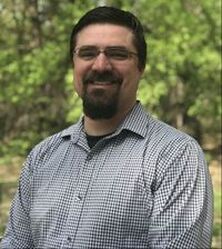
Jonathan Beck has worked in the aviation industry for over 15 years. He began his career as an air traffic controller and has been working with Uncrewed Aircraft Systems (UAS) technology since 2004. His career has involved fielding first of their kind small, medium and large scale UAS programs and operations across state and federal organizations and most recently in higher education. In 2011, Northland Community and Technical College in Thief River Falls, MN launched the nations first UAS maintenance program. He is currently an Instructor and Program Manager of UAS technology at Northland. He provides adjunct instruction for other colleges across the MinnState system and holds a research faculty position in the Geography Department at St Cloud State University. Over the past 4 years he has participated in UAS applied research projects for the Minnesota Department of Agriculture, Minnesota Board of Water and Soil Resources, and the Minnesota Department of Natural Resources. He is also a principal investigator for the DroneTECH project, supported by the National Science Foundation Advanced Technological Education program. The DroneTECH project provides UAS educational opportunities to educators, students and other stakeholders.
|
Jonathan Beck
From Northland Community and Technical College, Ashland, WI
UAS Instructor/Program Manager,
Principal Investigator-DroneTECH,
National Science Foundation ATE Program
From Northland Community and Technical College, Ashland, WI
UAS Instructor/Program Manager,
Principal Investigator-DroneTECH,
National Science Foundation ATE Program
