
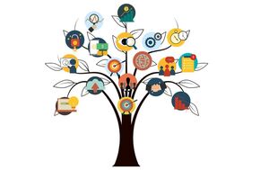
Education
Discover free public data, tools, and resources from GeoTech Center
Concept Modules and Demonstration Videos
|

Model Courses
|
Syllabi Repository
|
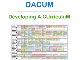
DACUM Results
|
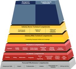
Developing a GTCM Modeled Geospatial Program
|

GeoTech Center National Program Locator
|

GeoTech Center's Presentations & Handouts
|

Map Libraries and Data Resources
|
Geospatial Mentors
|

GeoInspirational Women
|

|

Supporting Your Program
|
