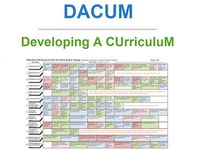
GeoTech Center
  • HOME
  • NEWS AND EVENTS
    • Excellence in Geospatial Education Awards
  • RESEARCH STUDIES
  • EDUCATION
  • PROFESSIONAL DEVELOPMENT
  • CENTER INFORMATION
  • CONTACT US
  • New Geospatial Tools Self Assessment Tool

DACUM Results

Discover free public data, tools, and resources from GeoTech Center
Picture


Picture

DACUM Research Chart for Geospatial Intelligence Specialist​ - Northland


Picture

DACUM Research Chart for Uncrewed Aircraft Systems Operations Technician - Palomar


Picture

​DACUM Validation Chart for Uncrewed Aircraft Systems Remote Sensing Technician - Onondaga


Picture

Geospatial Technology - DACUMS


Picture

Geospatial Technology - Meta-DACUM


Picture

Uncrewed Aircraft Systems - Meta-DACUM

Become a Member
Geospatial Resources
GeoTech Center's Presentations
Workshops
GTCM & Meta-DACUM Curriculum Guidelines
Map Library and Data
Veterans' Resources
Partners


Copyrighted ©2024  Jefferson Community and Technical College • 1000 Community College Dr. • Louisville, KY 40272 • (502) 213 - GEOT (4368) •JF-[email protected] 
​NSF: DUE 1304591, DUE 1644409
, DUE 1700496, DUE 1937177, DUE 1938717, DUE 1937237, DUE 2202038, and DUE 2500731
Opinions expressed are those of the authors and not necessarily those of the National Science Foundation. 
National Science Foundation