
GeoTech Center's Presentations & Handouts
Discover free public data, tools, and resources from GeoTech Center
The GeoTech Center has presented at several venues over the last couple of years, and here are we gathered some of them.

ATE PresentationsBy Team, 2023
|
ATE PI ConferenceBy Team, October 2019
|

Python WorkshopBy Vince DiNoto, 1 Day for KAMP 2019
|

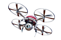
Fundamentals of UASBy Vince DiNoto, KAMP Quarterly Meeting 2017 in Owensboro
|
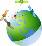
UAS and GeoINT
|

Growing the Workforce
|

Competency Based Geospatial Learning
|

The National Geospatial Technology Center of Excellence and a look at the future of Geospatial TechnologyBy Vince DiNoto, at ATE in Washington, DC - October 2016
|
Field Data Collection and Story Mapping
|

Disruptive Technologies In Geoscience
|

Geospatial Mapping
|
What is the National Geospatial Technology
|

Using Python for Problem Solving
|

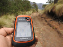
Field Data Collection
|

Using Geospatial Technology in Urban Heat Island Studies
|
The National Geospatial Technology Center of Excellence and a look at the future of Geospatial TechnologyBy Vince DiNoto, at Bluegrass Community and Technical College - May 10, 2016
|

Field Data CollectionBy Vince DiNoto, at Bluegrass Community and Technical College - May 10, 2016
|
JCTC Student Enrollment AnalysisBy Vincent DiNoto Jr. - May 10, 2016
|

A Look into the Future of Geospatial TechnologyBy Vince DiNoto, at Harrisburg Area Community College - November 18, 2015
|

Uncrewed Aircraft System - Uncrewed Aerial Vehicle Drone By Vince DiNoto, at Jefferson Community and Technical College - SW Campus in Louisville, KY - November 10, 2015
|
|
|


Revitalizing GIST Community College Curriculum
|

Geospatial Technologies: What is it and how can I make use of this Technology By Vincent DiNoto Jr. at Sinclair Community College
|
