GeoTech Center
  • HOME
  • NEWS AND EVENTS
  • RESEARCH STUDIES
  • EDUCATION
  • PROFESSIONAL DEVELOPMENT
  • CENTER INFORMATION
  • CONTACT US

GeoTech Center Model Courses

Discover free public data, tools, and resources from GeoTech Center
Picture

The GeoTech Center, a National Science Foundation (DUE 1304591 & DUE 1700496) grant to support geospatial programs at two-year colleges, developed Model Courses focused on building the skills, competencies, and abilities needed for entry-level occupations in the geospatial industry. Competencies covered in the Model Courses were identified using the Geospatial Technology Competency Model (GTCM) and outcomes from multiple DACUM (“Developing a Curriculum”) events. A panel of geospatial education experts parsed the competencies into the Model Courses for the Certificate and are listed in a Program Content Tool that can be used to see what competencies and depth should be in each course. You can also assess your program from the GTCM Program Assessment Tool (Blank) tool.
​All material is distributed freely under a Creative Commons license and can be used with attribution to GeoTech.
  •                                           Certificate Module Course                                           
  •                                              Elective Model Courses                                             
  • ​                               Stand Alone Geospatial Awareness Course                               
<
>

Picture

GST 101
Introduction to Geospatial Technology


Picture

GST 102
Spatial Analysis


Picture

GST 103
Data Acquisition & Management
​


Picture

GST 104
Cartographic Design
​


Picture

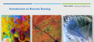
GST 105
Introduction to Remote Sensing
​


Picture

GST 106
Introduction to Geospatial Programming


Picture

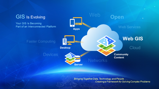
GST 107
Geospatial Web Applications and Development


Picture

GST 108
Capstone in Geospatial Technology


Picture

GST 109
Internship in Geospatial Technology


Picture

GST 201
Spatial Analysis of Crime


Picture

GST 202
GIS for the Geosciences


Picture

GST 203
Working with Drone LiDAR Data in ArcGIS

Picture

Picture

GST 100
Exploring Our World Fundamentals of Geospatial Science


Become a Member
Geospatial Resources
GeoTech Center's Presentations
Workshops
GTCM & Meta-DACUM Curriculum Guidelines
Map Library and Data
Veterans' Resources
Partners


Copyrighted ©2023  Jefferson Community and Technical College • 1000 Community College Dr. • Louisville, KY 40272 • (502) 213 - GEOT (4368) •JF-GeoTech@kctcs.edu 
​NSF: DUE 1304591, DUE 1644409
, DUE 1700496, DUE 1937177, DUE 1938717, DUE 1937237, and DUE 2202038
Opinions expressed are those of the authors and not necessarily those of the National Science Foundation. 
National Science Foundation