
GeoTech Center Virtual Workshops
2020 Workshops:
Note: To access any workshop application, click on the workshop's title.
|
*** Due to COVID-19, all GeoTech summer workshops will be held online via Zoom. Two workshops posted previously (Southwestern College & Monroe Community College) have been postponed to summer 2021.
|
|
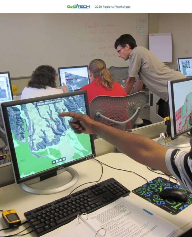
Working with ArcGIS Online, ArcGIS Pro, UAS, and Earth Imagery - June 17-19, Application Deadline: 6/12/20
Instructors: Mukila Maitha & Rich Schultz Workshop Description: Working with ArcGIS Online and ArcGIS Pro Participants at this workshop gain hands on experience on teaching with ArcGIS Online, ArcGIS Pro, UAVs (drones), and Earth Imagery. Attendees will be introduced to open curriculum development resources (lessons and data) from national and international repositories. Workshop participants will develop an exercise or lesson for use in one of their classes. Working with Remote Sensing Imagery in ArcGIS Online and ArcGIS Pro - August 3-5 Application Deadline: 7/20/2020
Instructors: Vince DiNoto & Nicole Ernst Workshop Description: Working with Remote Sensing Imagery in ArcGIS Online and ArcGIS Pro. In this workshop, participants will be introduced to web-based applications that allow for imagery interpretation and analysis. Additionally, this workshop will cover remote sensing workflows in ArcGIS Online and ArcGIS Pro. Participants will work with Landsat, Sentinel, and other imagery sources. Workshop participants will develop an exercise or lesson for use in one of their classes. Autonomous Vehicle Technology Sensors (Air, Land and Sea): What Teachers Need to Know for the Classroom - October 15-16, Application Deadline: 9/11/2020
Instructors: Jon Beck, Chris Hadfield, Zackary Nicklin, Ben Richason, Jill Zande Workshop Description: The Geospatial Dimensions of Autonomous Vehicle Technologies (Air, Land, and Sea) This workshop is designed to address the geospatial dimensions impacting the aerospace, automotive and marine autonomous technologies industries. Educators from these disciplines face many challenges from the rapid integration of technology. Through hands on experience and discussion we will cover industry trends and the future impact of advanced technologies integration resulting from autonomous technologies. Attendees will be prepared to use this technology in their classroom using portable, cost efficient experimentation and exercises. |
|
