
2022 GeoTech Center GIS Day
Geospatial Educator's Certification Program
(GeoEdC)
Starting with Big Topics
Model CoursesTo edit, click on the text to start adding your own words.
|
GTCMTo edit, click on the text to start adding your own words.
|
UASTo edit, click on the text to start adding your own words.
|
Let's Go For Some Events
|
|
Main Items
Geospatial Awareness MOOC
|
National Center for Autonomous TechnologyThis text is to help your site visitors with pressing questions. To edit simply click directly on text.
|
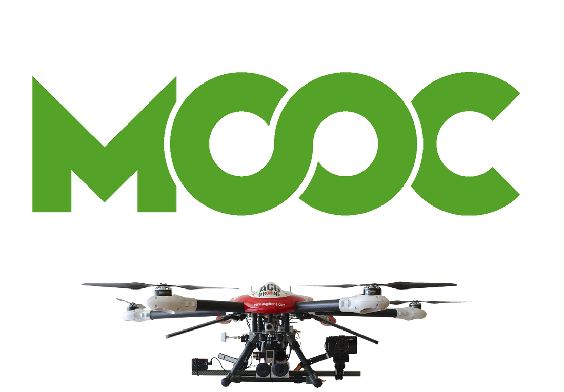
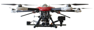
UAS MOOC - Drone Safety and ApplicationsEnvironmental and Natural Resources Technology Center - EARTH |

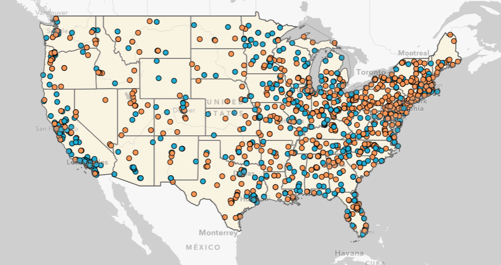
Geospatial Education Program FinderThis map allows you to search for an institution with GIS class or degree. By clicking on any dot you will discover additional information about the institution.
|
|

|
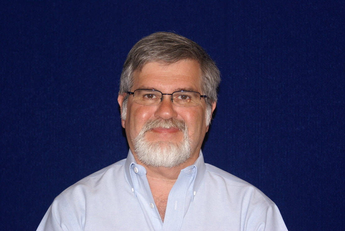
Vincent A. DiNoto Jr.Director and Principal Investigator DiNoto, Vincent A. is Dean of College and Systemic Initiatives and Professor of Physics, Astronomy and Geosciences at Jefferson Community and Technical College located in Louisville, KY. He is Director and Principal Investigator of the National Geospatial Center of Excellence a National Science Foundation Center, located at Jefferson Community and Technical College. He received his M.A. and B.S. from Indiana State University and has been on the faculty at Indiana State University and Indiana University Southeast prior to coming to Jefferson. He is former co-PI of National Supply Chain Technology Education Center and the National Information and Computer Center and was director and co-PI of Kentucky Information Technology Center. He has served as PI, or co-PI on numerous NSF projects. He developed one of the first Astronomy Laboratories at a community college in the country. His current research interest include education technologies, contextual learning, integrated courses, mapping of historical Civil War Battlefields and Water Powered Industries. He has authored numerous courses and offered them in an online delivery mode. He has written and presented numerous professional article his most recent published work is on the Two Great Armories.
|
Contact Us
Please use this form to contact the GeoTech Center with any comments or
questions that you have.
questions that you have.
|
|
National GeoTech Center
|
Start Your Day Right
To edit, simply click directly on the text and add your own words.
Use this text to go into more detail about who you are.
Use this text to go into more detail about who you are.

The FirstTo edit, click on the text
and add your own words. |

The SecondTo edit, click on the text
and add your own words. |

The ThirdTo edit, click on the text
and add your own words. |
Concept Modules and Demo VideosThe concept modules cover a single topic and are meant to provide elementary understanding for functional literacy.
Geospatial Awareness MOOCThe concept modules cover a single topic and are meant to provide elementary understanding for functional literacy.
UAS MOOCThe drone safety and application are meant to provide elementary understanding for functional literacy.
National Center for Autonomous TechnologiesThe concept modules cover a single topic and are meant to provide elementary understanding for functional literacy.
|
Vertical Divider
|
|

Personal Assessment
|
Model Courses
|
GTCM
|
UAS
|
News and EventsAccess to updated news and events hosted by the GeoTech Center.
|
EducationAccess to resources for programs and educators seeking to either start, modify, or enhance a geospatial program.
|
ProfessionalAccess to resources for geospatial professionals interested in education.
|
